Physical Address
304 North Cardinal St.
Dorchester Center, MA 02124
Physical Address
304 North Cardinal St.
Dorchester Center, MA 02124
Your guide to extraordinary adventures around the globe.
Your guide to extraordinary adventures around the globe.

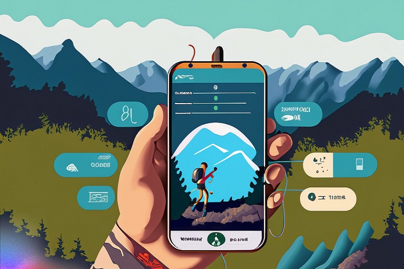
Hiking’s soaring popularity means trails are busier than ever. In 2022, national parks saw record breaking visits. Stay ahead of the crowds and hike smarter by using the latest hiking apps. This ultimate guide reviews the 16 top hiking apps for 2023 every outdoor adventurer should download.
From all-in-one trail tools to specialized geomapping, these hiking apps offer something for everyone. Best of all, most are free or have free versions. Read on for an in-depth look at how these hiking apps can enhance safety, improve navigation, unlock insights and make your time in nature more enjoyable.
With a robust database of over 100,000 trail maps contributed by users, AllTrails is like having a hiking buddy in your pocket. Features include:
As the most used outdoors app globally, AllTrails helps you discover new adventures. I love browsing trail descriptions and photos from fellow hikers before heading out.
Serious backpackers need Gaia GPS. With advanced mapping tools, you can download detailed NatGeo topographic maps for offline access. Key features include:
I always download maps with Gaia GPS before multiday treks off the grid. I once got caught in a bad storm and the app steered me safely back.
PeakFinder uses augmented reality so you can identify mountain peaks just by pointing your camera. Features include:
Instead of wondering what that epic mountain is called, I just open PeakFinder! It came in handy when I was gaping at the Maroon Bells in Aspen.
The Outbound app feeds my wanderlust with epic outdoor adventure stories from hikers worldwide. Other handy features include:
Whether I’m home or traveling, this app gives me insider intel to discover amazing new places to hike and roam off the beaten path.
Serious about tracking your hikes? Outdooractive provides advanced GPS and augmented reality tools for navigation, including:
I use Outdooractive on every hike to track distance, elevation, pace and route. It provides all the data to analyze and improve my performance over time.
If you want hiking and biking routes tailored to your abilities, check out Komoot. Standout features:
Komoot is like having a personal trail guide! It led me to an amazing hidden waterfall I never would have discovered on my own.
REI’s Hiking Project app offers everything needed to plan adventures:
REI’s curated guides keep me informed. I particularly love the mileage and difficulty filters to find trails matching my fitness level and time constraints.
Hikers who are competitive about stats and times will love Strava. You can:
I’m addicted to analyzing my hike stats on Strava and seeing how my segment times measure up. It really motivates me to improve!
Caught in a downpour miles from the trailhead? Rain Alarm provides advance warning with:
I’ve used Rain Alarm’s alerts to seek shelter just before torrential thunderstorms rolled in. It provides peace of mind if the weather takes a turn.
Mountain bikers and hikers alike love Trailforks for its wealth of trail data:
I use Trailforks whenever I’m exploring new singletrack in an unfamiliar area. The community-sourced intel helps me find the best trails.
Download detailed topographic hiking maps from Avenza Maps with features like:
With Avenza Maps I can download USGS quad maps everywhere I hike for proper navigation when out of cell service. The geoPDFs integrate with my phone’s GPS.
Backcountry Navigator lives up to its name with great off-grid tools:
I never hike deep backcountry without first downloading offline maps on Backcountry Navigator. It provides backup navigation and tracking if I lose the trail.
For long trails, Guthook Guides offers digital guidebooks with:
I used Guthook for the entire Appalachian Trail. It kept me on track and informed through the whole 2,190 miles!
Suunto helps hikers plan routes, navigate trails, and track fitness:
I love how Suunto provides robust mapping and movement tracking – all in one sleek app tailored for the outdoors.
OnX Offroad adds off-roading and land data:
Knowing land status is key for responsible off-trail hiking. OnX gives me this awareness along with great navigation.
For identifying distant peaks, use PeakVisor’s augmented reality:
Just point your camera to instantly ID peaks with PeakVisor! I have fun testing my mountain knowledge while hiking.
Equipping yourself with the best hiking apps can profoundly improve your outdoor adventures. Navigation, fitness tracking, weather alerts, and trail discovery all optimize time spent hiking. Consider your needs and download a few of these top-rated hiking apps before your next trip. Just be sure to prioritize safety from adequate gear to sharing your plans. Happy trails!